 | ||
CU2CE
Rua de Santana, 34 - Rabo de Peixe Ribeira Grande 9600-096 Azores [+] Mailing label | ||
Lookups: 31848 Ham Member
| ||
| Email: Use mouse to view.. | ||
20121228 2019UTC 7125kHz CU2CE
Date : 28/Dec/2012 2019UTC
Freq : 7125kHz USB
Rig : SDR(PI4THT)
ANT : GP
PC recording
CU2CE QSL Card << Click!!

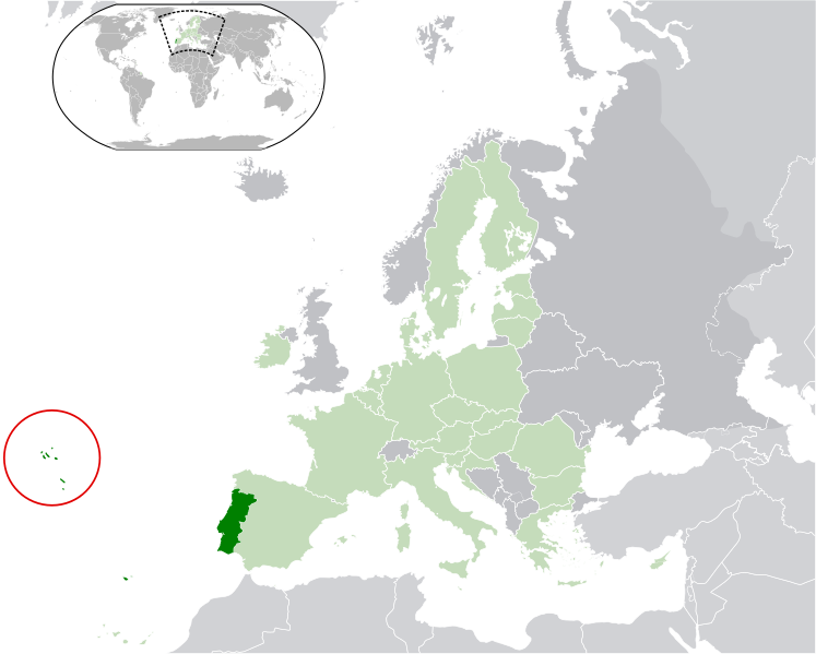

The Archipelago of the Azores (UK /əˈzɔrz/ ə-zorz, US /ˈeɪzɔrz/ ay-zorz; Portuguese: Açores, IPA: [ɐˈsoɾɨʃ]) is composed of nine volcanic islands situated in the North Atlantic Ocean, and is located about 1,500 km (930 mi) west of Lisbon and about 1,900 km (1,200 mi) southeast of Newfoundland. The islands, and their Exclusive Economic Zone, form the Autonomous Region of the Azores, one of the two autonomous regions of Portugal. Its main industries are: agriculture, dairy farming (for cheese and butter products primarily), livestock ranching, fishing and tourism, which is becoming the major service activity in the region. In addition to this, the government of the Azores employs a large percentage of the population directly or indirectly in many aspects of the service and tertiary sectors.
There are nine major Azores islands and an islet cluster, in three main groups. These are Flores and Corvo, to the west; Graciosa, Terceira, São Jorge, Pico and Faial in the centre; and São Miguel, Santa Maria and the Formigas Reef to the east. They extend for more than 600 km (370 mi) and lie in a northwest-southeast direction.
No comments:
Post a Comment