
JX9JKA(Jan Mayen) on 40m LSB-2!!!
JX9JKA
Login is required for additional detail.
[+] Mailing label | ||
Lookups: 190834 Ham Member
| ||
| Email: Login required to view QSL: LA9JKA | ||
20121219 2003UTC 7163kHz JX9JKA
Date : 19/Dec/2012 2003UTC
Freq : 7163kHz LSB
Rig : SDR(PI4THT)
ANT : GP
PC recording

Postage EU = 13 NKR, World = 15 NKR. 1 USD = 5,5 NKR. EUROPE AND REST OF THE WORLD: 3 GREEN STAMPS OR 1 IRC.
No eQSL please. SWL reports are welcome. QSL Direct only.
Svein Rabbevag, Brendlia 12, N-6013 ALESUND, NORWAY
Geography and geology

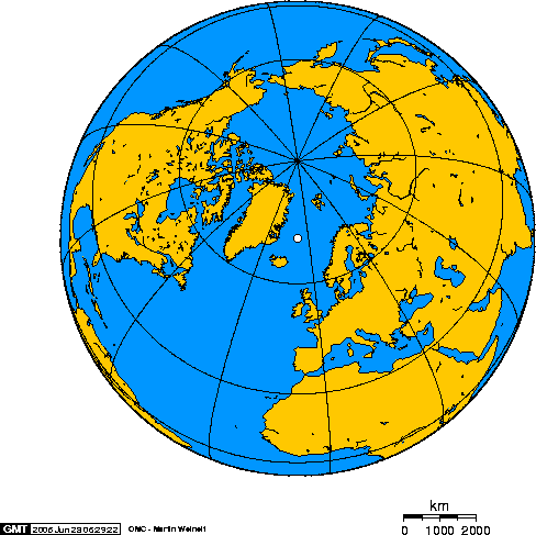
Jan Mayen consists of two geographically distinct parts. Nord-Jan has a round shape and is dominated by the 2,277 m (7,470 ft) high Beerenberg volcano with its large ice cap (114.2 km2 or 44 sq mi), which can be divided into twenty individual outlet glaciers. The largest of those is Sørbreen, with an area of 15 km2 (5.8 sq mi) and a length of 8.7 km2(3.36 sq mi). South-Jan is narrow, comparatively flat and unglaciated. Its highest elevation is Rudolftoppen at 769 m (2,523 ft). The station and living quarters are located on South-Jan. The island lies at the northern end of the Jan Mayen Microcontinent. The microcontinent was originally part of the Greenland Plate, but now forms part of theEurasian Plate.
No comments:
Post a Comment